Prism Map of the Contiguous United States
admin | 10.12.2025
3D Preview
Loading 3D model...
LMB: Rotate | Scroll: Zoom | RMB: Pan
Gallery (5)
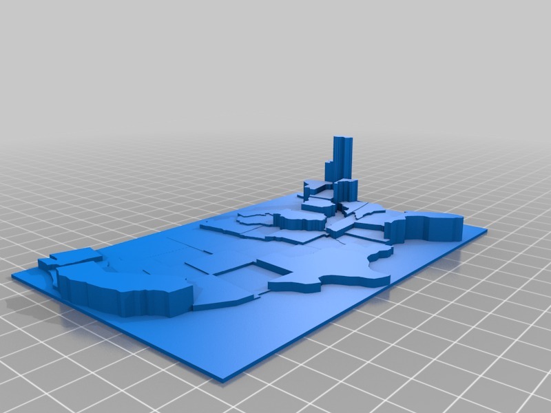
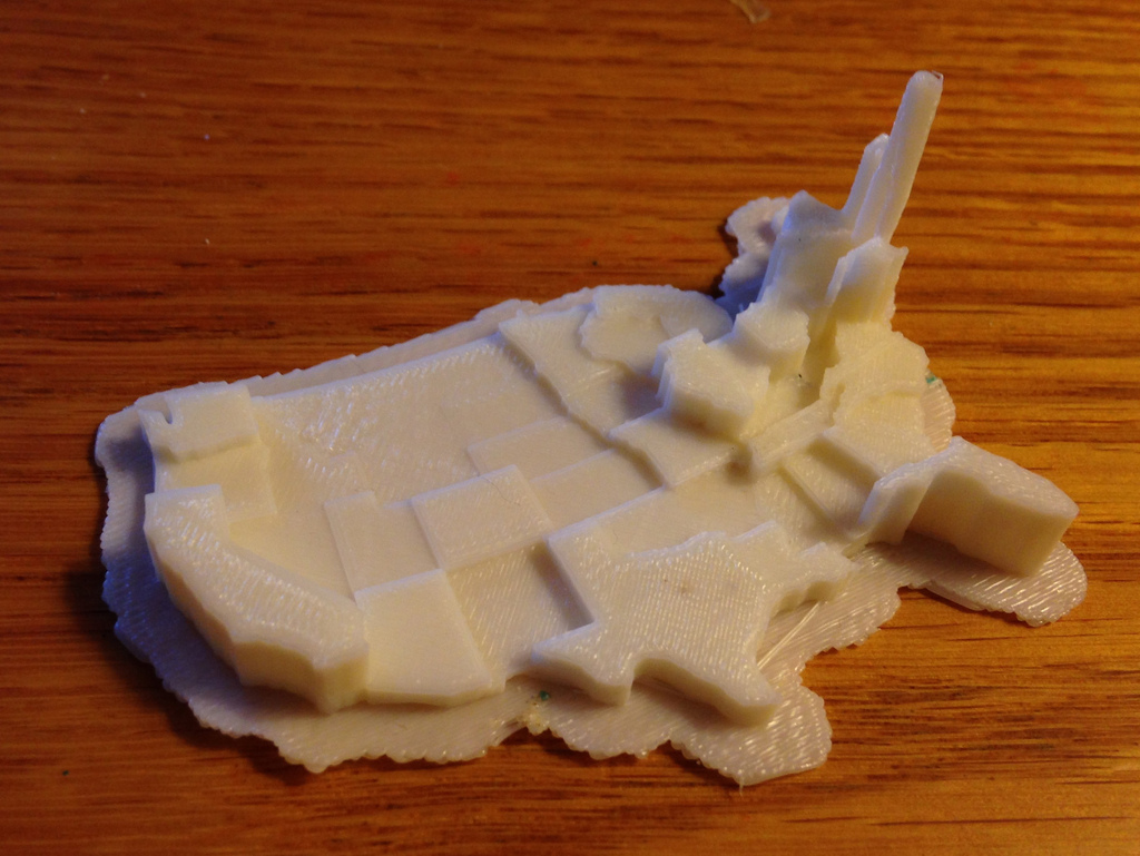
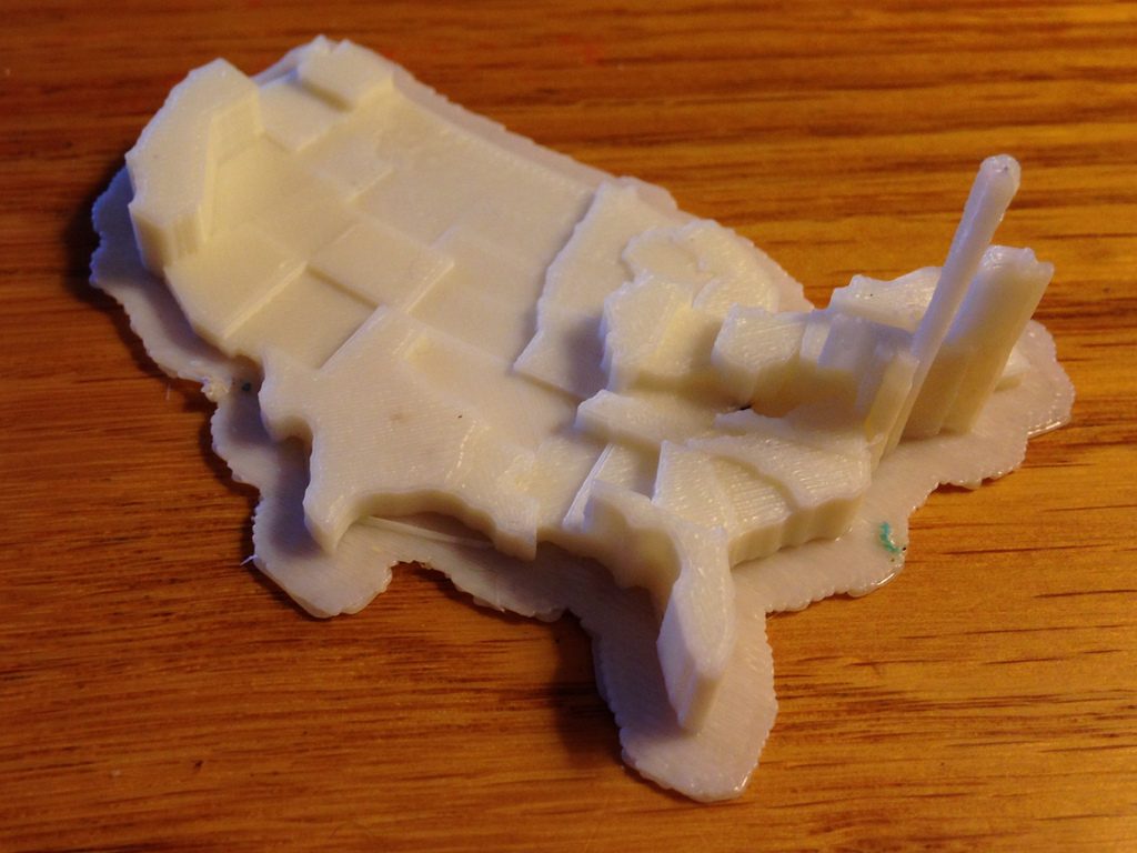
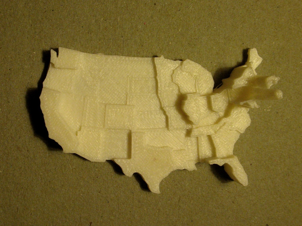
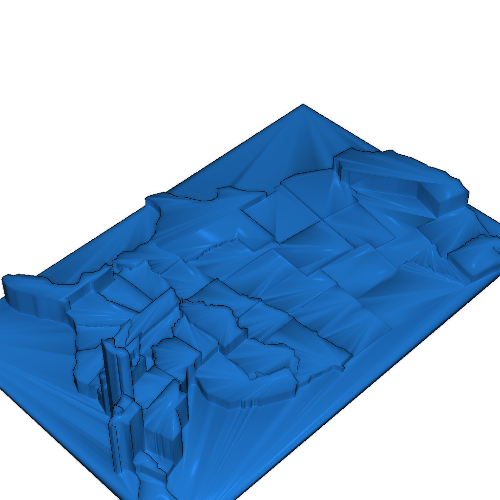
This model features a customizable prism map of the contiguous United States, where values are represented by the height of each state. The prisms are created from extruded polygons. The default dataset illustrates population density based on the 2010 census, normalized by state area in square kilometers.
Features:
- Customize data for each state.
- Easily create your own prism map models from shapefiles.
Printing Recommendations:
- Print with a raft.
- 10% infill.
- Use 2 shells and a layer height of 0.15 mm.
Category
Please login to post comments.
Information
- Author: admin
- Date: 10.12.2025
- Category: Art & Design
- Views: 137
- Downloads: 71
- Likes: 0
- Images: 5
- Files: 2
Download ZIP
Model Author
Similar models




×
❮
![]() ❯
❯