3D Model of Paris in 49 Tiles
admin | 10.12.2025
3D Preview
Loading 3D model...
Gallery (6)
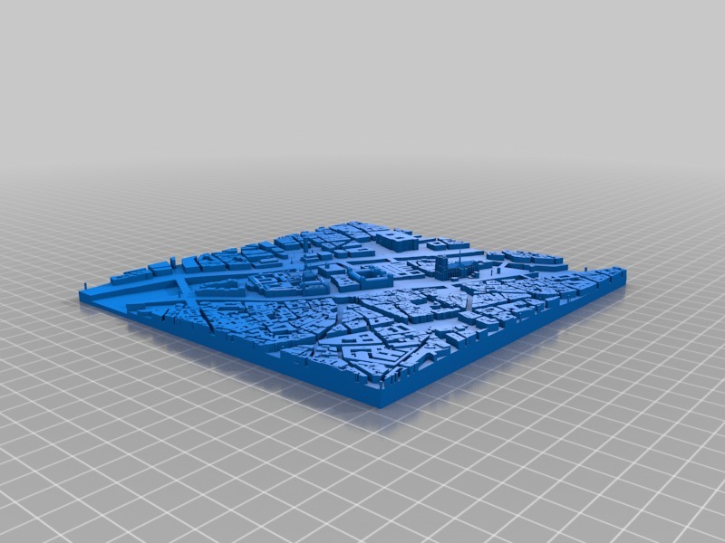
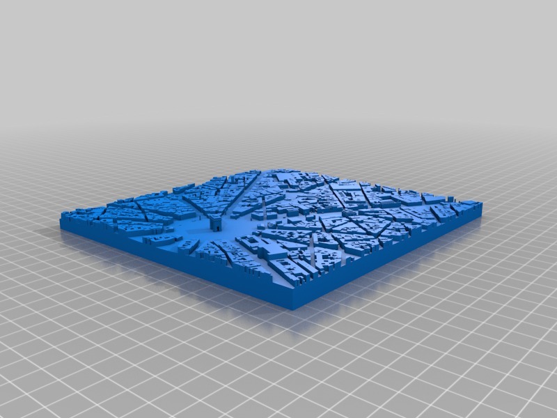
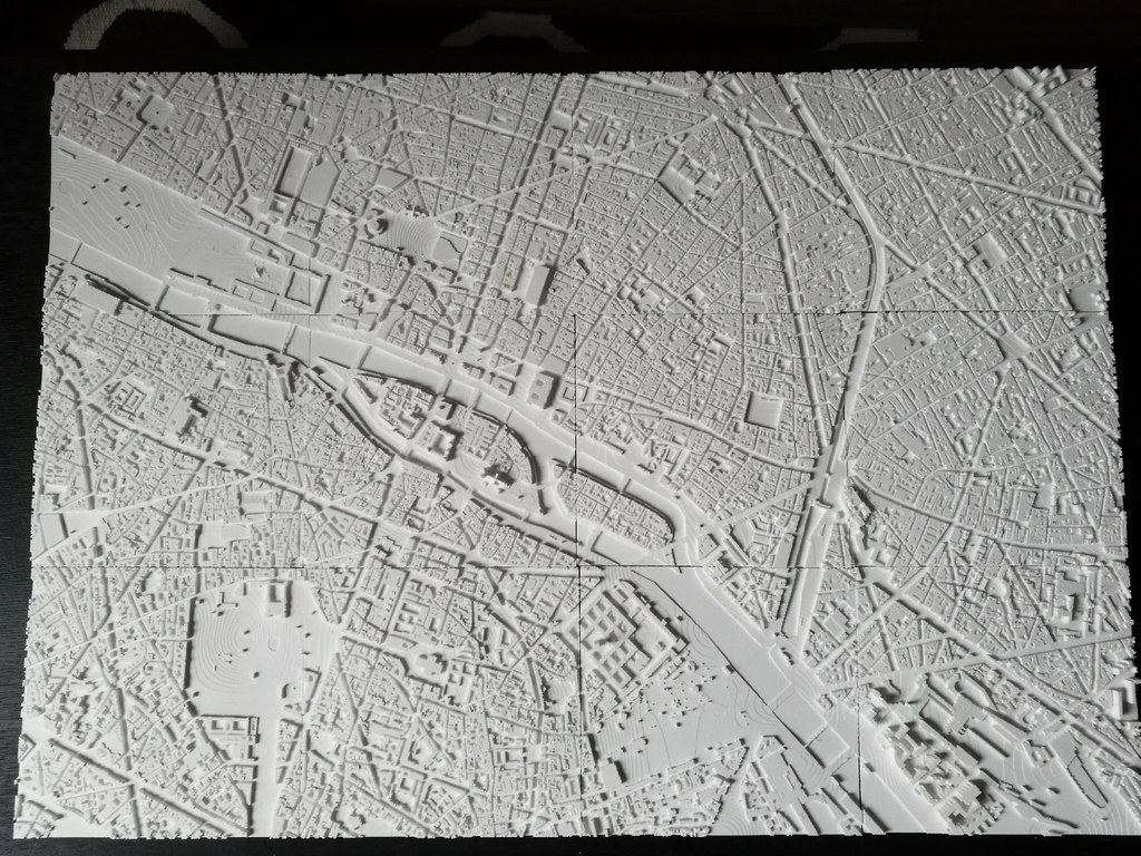
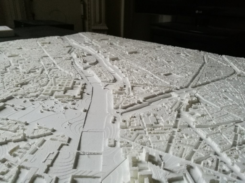
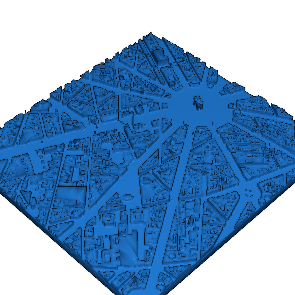
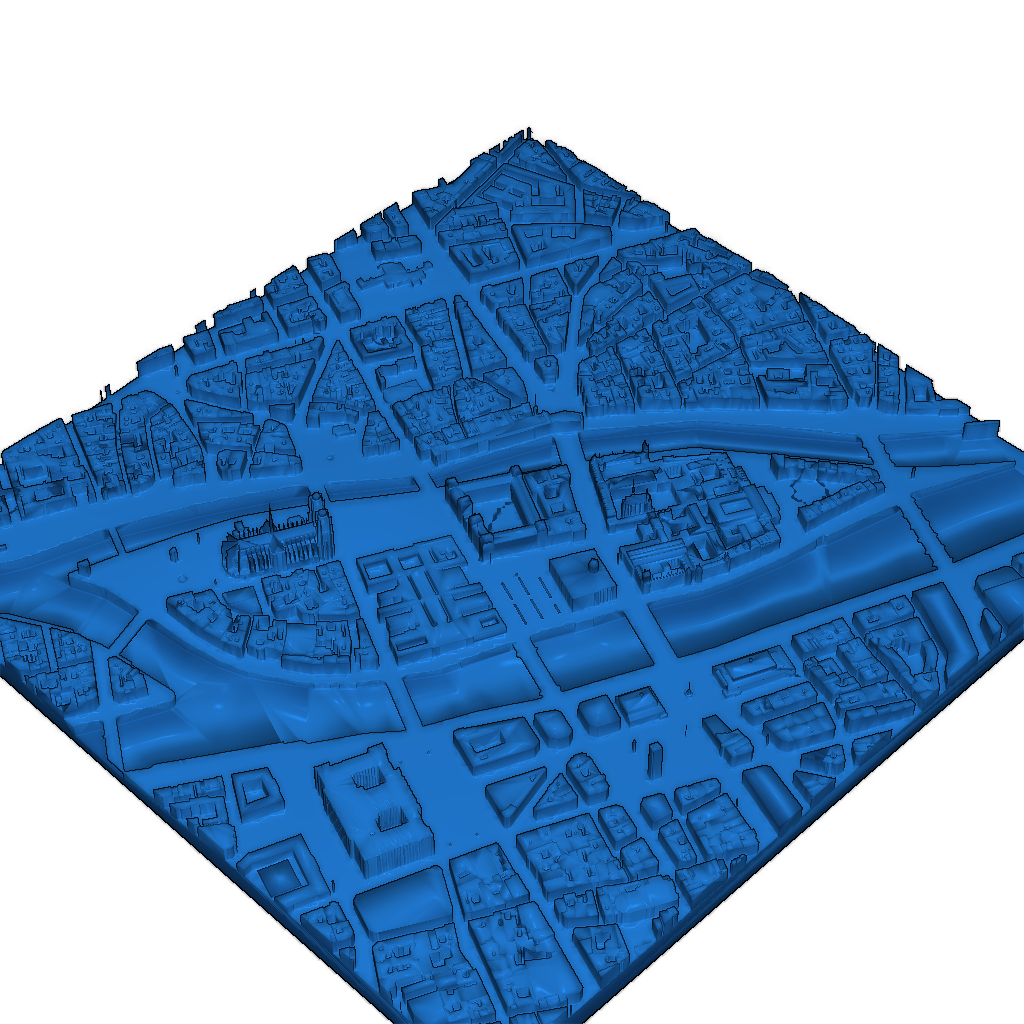
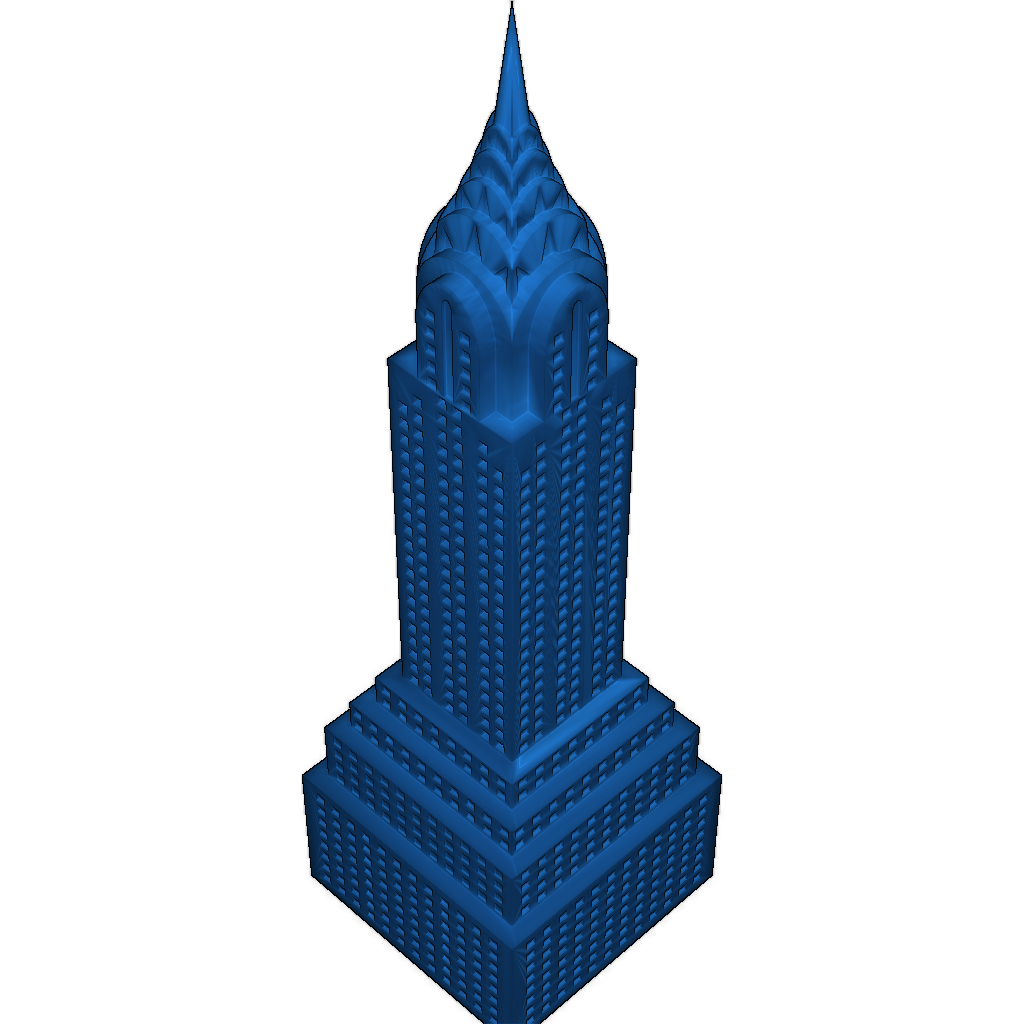
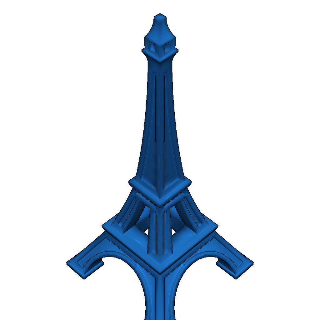
This model features a detailed 3D map of the city of Paris, divided into 49 tiles, each containing unique geographical data.
Usage: The model is intended for visualization and analysis of geographical information about Paris and can also be used for educational and research purposes.
Construction Features: Each tile file has its own coordinates, allowing for precise reproduction of the city's layout and details in the 3D model.
Printing Recommendations: Ensure that the selected print settings match the dimensions and details of the model. High resolution is recommended for optimal results.
Please login to post comments.
Information
- Author: admin
- Date: 10.12.2025
- Category: Architecture
- Views: 92
- Downloads: 81
- Likes: 0
- Images: 6
- Files: 4
Download ZIP